Company description
National Drones is an Australia wide drone service operator. The services we deliver are aerial photography and videography, agriculture, asset inspections, building and solar panel inspections, cinematography, television and media, civil engineering and construction, emergency services, insurance assessment and mining. National Drones are fully insured, licensed and experienced UAV operators. We conduct drone services nationally using operators based in Melbourne, Sydney, Brisbane, Perth, Adelaide, Canberra and Hobart.
Visit NationalDrones https://nationaldrones.com.au/
What Is National Drones?
National Drones is Australia's leading drone service provider. We are experts in aerial photography, aerial spotting, and aerial surveillance services utilising unmanned aerial vehicles (UAV's) otherwise known as remotely piloted aircraft systems (RPAS) or drones. Our drone services cover a wide range of indust`ries including but not limited to building and solar panel inspections, insurance assessments, agricultural land surveillance, television and media, mining, mapping and surveying, asset inspections, emergency services, real estate and more. National Drones SAFER, FASTER, SMARTER.
For more information, visit https://nationaldrones.com.au/
National Drones is an Australia wide service provider of aerial photography and videography, aerial spotting and aerial surveillance services utilising unmanned aerial vehicles (UAV’s), otherwise known as Remotely Piloted Aircraft Systems (RPAS) or drones.
Our drone services cover a wide range of industries including, but not limited to: real estate photography; building and solar panel inspections; insurance assessment; agricultural land surveillance; television and media; mining; mapping and surveying; asset inspections; emergency services and more.
We conduct drone services nationally using operators based in Melbourne, Sydney, Brisbane, Perth, Darwin, Gold Coast, Adelaide, Canberra and Hobart.
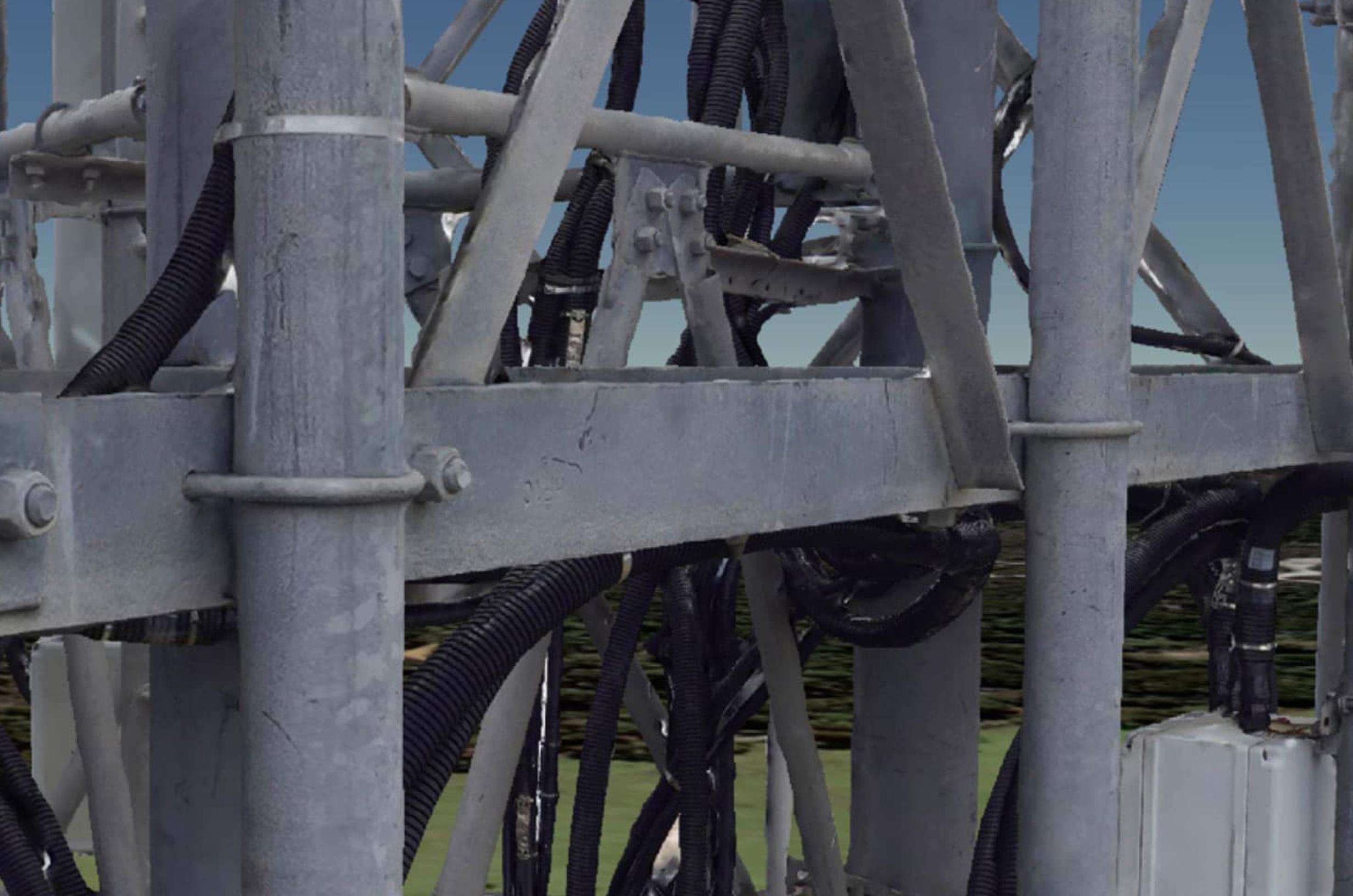
Civil Engineering and Construction Services
- Land surveying & terrain mapping
- Capturing views for off the plan marketing
- Stockpile measurement and monitoring
- Asset underutilisation detection
- Remote project oversight via live video streaming
- Progress reporting
- Improved workplace safety (scaffold inspections)
- Heritage building inspections and 3D modelling
- Thermal imaging (building heat loss and insulation inspections)
- Real Estate marketing
Maintaining a competitive edge in the civil engineering and construction industry necessarily means keeping tight control over project costs. Blowouts in construction timeframes, workplace incidents that result in industrial action or worksite closures; stockpile shortages bringing work to a halt and equipment that is under-utilized can all have a devastating impact on the profitability of civil construction and building projects.
GPS assisted Unmanned Aerial Vehicles (UAV’s) with collision protection and active camera stabilisation are providing a level of previously unmatched visibility over large-scale projects, improving transparency, enhancing site safety and helping avert costly disruptions. Drones cut costs, deliver efficiencies and save time.
WHS managers for example, are able to continually observe progress and identify new and emerging hazardous risks, placing them in a better position to plan risk minimization and mitigation strategies throughout the course of a project.
Remotely piloted aircraft can also be used to provide visual assistance during complex crane lifts. Real-time capture and supply of footage to spotters and operators enhances communication and helps assure the success of delicate maneuvers.
Beyond standard imaging capability, captured footage can be processed through our specialist software to produce Ortho-mosaics, digital surface models and three-dimensional representations of worksites that can then be viewed and annotated, without the need for specialist software on the customer side.
Engineers can use this data to measure distances (m), areas (m2), stockpile volumes (m3), create polygons, place identifying markers, identify latent machinery and add annotations using a standard browser, that can then easily be shared and commented on.
For more information, visit https://nationaldrones.com.au/
More details
- Drone Services
- We have extensive experience working with Government and Law Enforcement Agencies, tertiary education facilities, power and utilities organisations, multi-national mining operations and nationwide survey companies to name just a few.
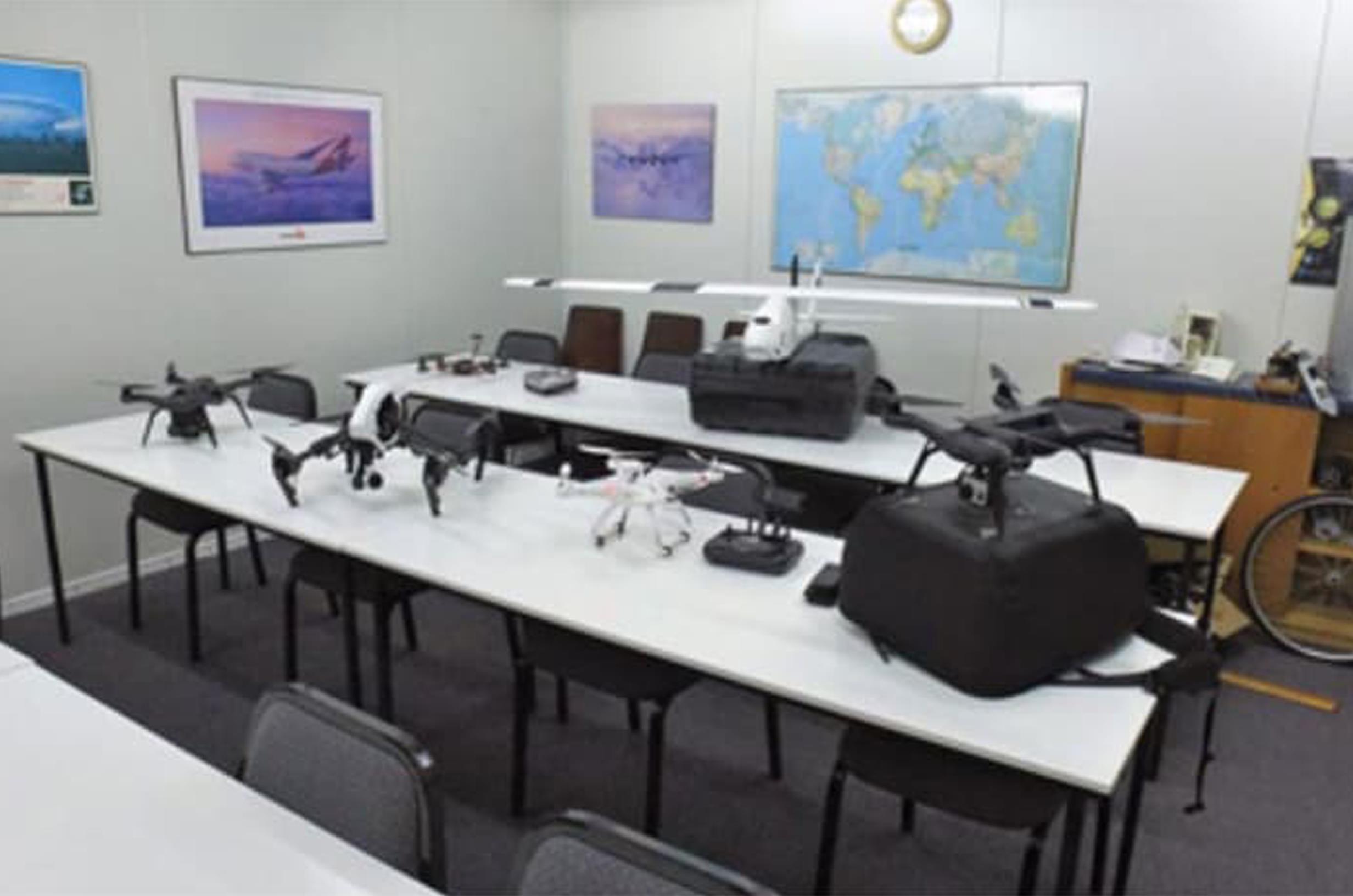
- Drone Training
- If you are considering drones as part of your toolkit and looking to up-skill we have a range of RPAS courses from drones awareness through to CASA accredited Remote Pilots License with AROC. Visit nationaldronesinstitute.com.au for more information or call 1300 759 843.
- Drone Software
- Please visit nationaldronesinstitute.com.au and select which Australian Location is your preferred for the Online RePL. Prior to payment please use the discount code: AINDT for the 10% discount to be applied.